Biking Northern California -- Wine Country and Coast
Day 7 -- Bodega Bay to Point Reyes

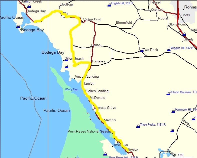
Route for Day 7
Breakfast at the Bodega Bay Spa and Resort was a formal sort of thing, as least as far as breakfasts go. The forecast was for occasional rain, but at least the morning was clear and not overly cold. Along the coast here I was expecting morning fog, but it was rather clear. Here are a couple of views of Bodega Bay and the resort.
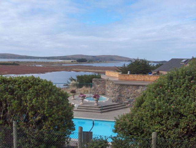
Bodega Bay seen from the Spa
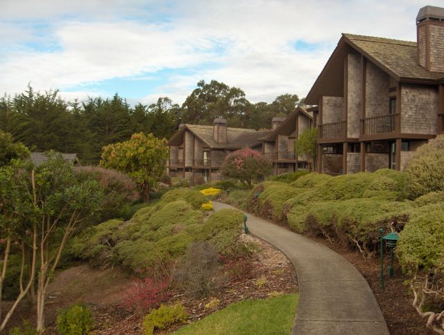
The Bodega Bay Spa and Resort
The route for today, our final day, was straight southeast down the coast for 33 miles, most of which would be on the Pacific Coast Highway. It began with long hill leading out of Bodega Bay and then the highway led inland away from the sea with, of course, more hills. After seven or eight miles we reached Valley Ford, where the guidebook recommended that we leave the coast highway to follow a country road which would rejoin the coast highway later.
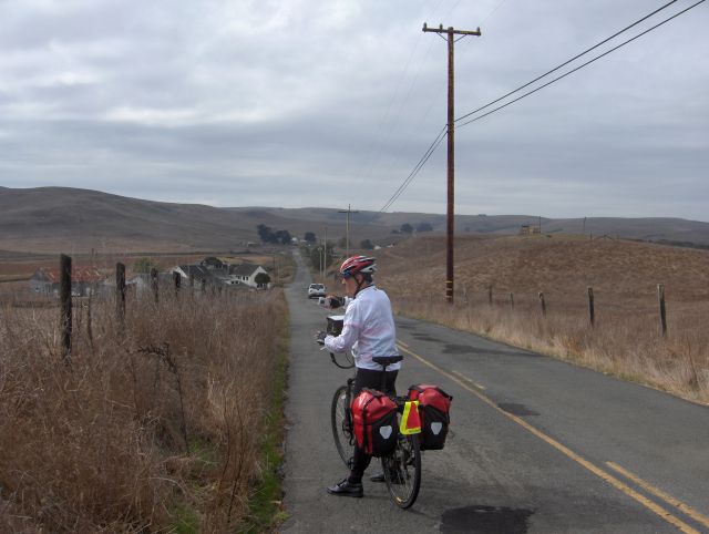
The country road looks easy at first
The country road was deserted. We biked past farms on rather level terrain, but our map showed a hill some miles ahead. I was a little concerned because none of the hills we had biked on the coast highway were marked on the map as hills. This must be some significant hill, I thought. Sure enough, presently there was a steep, long hill. I mean it was tough, and I had to rest several times. Moreover, the map didn't quite have the hill in the right place, since this was before the turn to the east on the country road, whereas the map said the hill was after that turn.
So after negotiating this terrible hill, we made the turn to the east, and there was the real *hill*. Apparently the map didn't think the hill we had just come up was worthy of being marked a hill. This one was now the mother of all hills. I thought I'd never get up. Everytime there was a bend ahead where I was sure the hill topped out, I'd get there only to see the hill continue steeply towards another apparent further top.
When I finally joined Len at the real top, he said that he had been worried about me. I said that I had been worried about me too. I rested for awhile with the panoramic view of the countryside and sea.
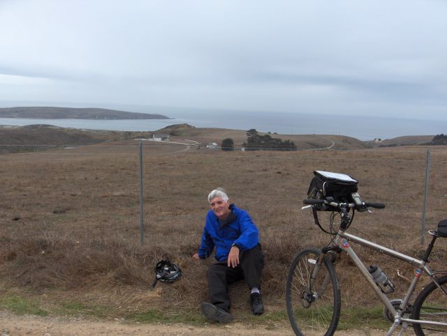
Resting at the summit of the big hill
From here it was mostly downhill to the town of Tomales, where we rejoined route 1. I was thinking that maybe it would have been better to have followed route 1 to Tomales, instead of taking the country road. Of course, I have no idea what route 1 was like over the section we missed, but it couldn't have been worse. In my experience it is almost always true that secondary roads have steeper hills than major highways. However, the secondary roads have less traffic and often have more interesting scenery. It's a tradeoff, like everything else.
When we pulled into the junction with route 1 in Tomales, there were the three bikers we had met the previous day -- the young girl biking until she ran out of money, the frenchman biking around the world, and the hunchback with all his stuff on his back.
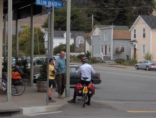
Once again we encounter the young bikers
Len and I got sandwiches at the bakery across the street. We could see the young bikers eating some picnic lunch on the other side of the street. I was thinking that our sandwiches cost more than their budgets could afford for everything the whole day. My sandwich wasn't very good either.
As we biked south after Tomales, the hills weren't as bad. The road often led inland through wooded areas, and then would regain the coast. However, the spectacular cliff scenery we had enjoyed the day before was now much more muted. The coast was less rugged, less rocky, and more immediate. We were now biking down a long inlet.
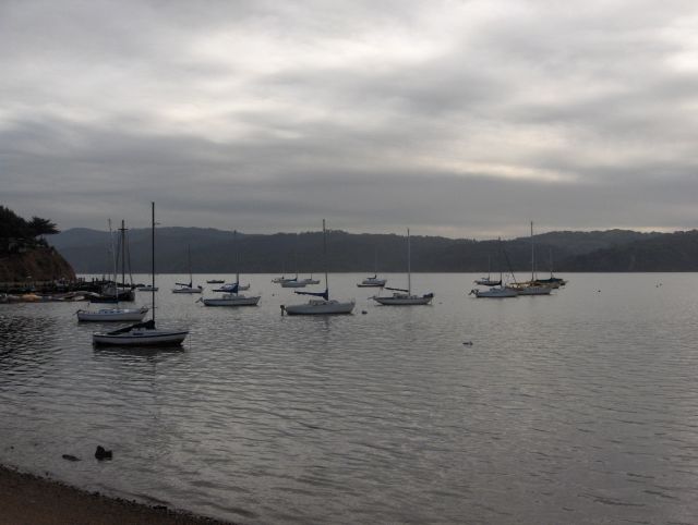
The road runs along the long inlet
Shortly past this point, both Len and I simultaneously pulled up at a sign.
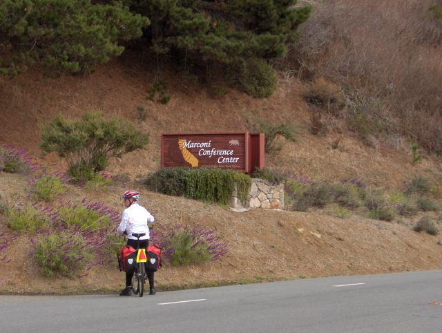
The Marconi Conference Center
I didn't know there was a Marconi Conference Center here. The map even has a town named Marconi. The reason Len and I stopped was our special association with Marconi. We both have been winners of the Marconi International Prize, and I am currently the chairman of the Marconi Foundation. Also, we both were good friends of Guglielmo Marconi's daughter, Gioia. (Marconi was the inventor of radio.)
I was now counting the miles to go. I reached 33, which was supposed to be the end, and there was Point Reyes. But not quite. It seemed there was one last hill to climb. Puffing and tired I made that one, only to discover that there was yet another hill. This wasn't fair; I had biked more than the requisite number of miles.
Finally there was the actual town of Point Reyes. I turned down the main street, looking for Len and for the van from LifeCycle Adventures that was to meet us. We had scheduled the pickup for 4:00pm. It was now 3:45pm.
And there was Len and the van. We celebrated the end of our trip.
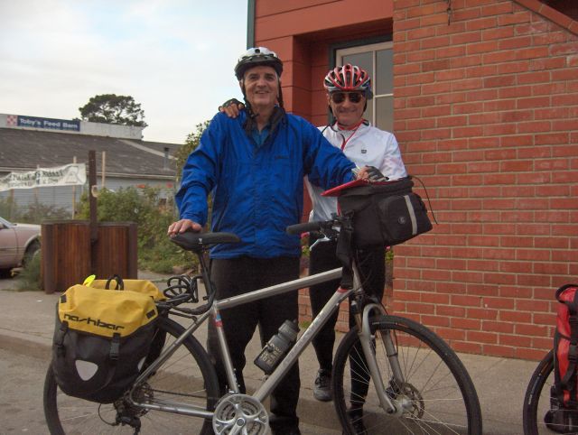
The end of the trip
While we were dismantling our bike equipment, who should pull up but our three young biking friends. Well, check that. There were only two of them now -- the girl and the french forester biking around the world. The hunchback was nowhere to be seen. I asked about him and the girl said that he had been injured and couldn't go on.
"So what did you do?" I asked.
"We just left him by the side of the road," she replied.
Again I couldn't imagine. There wasn't a town of any size for about 50 miles, and they leave this injured guy by the side of the road. Life is tough. (I wonder if any of them will ever see this web site?)
Fred Ackerman from LifeCycle Adventures drove us in the van back to San Francisco Airport. We followed route 1, which turned more and more dangerous as it climbed scary cliffs. After biking all week it was impossible to sit in a van and not think about biking the road we were on. I was thinking, too, about the girl and the french guy continuing along this road. Now there was really no shoulder and almost no verge between the edge of the road and the high, sheer cliff.
But we made it to the airport. I don't know about them.
As always, it was an adventure!
Back to Overview Page for the California Trip
Back to Bob Lucky's Biking Page